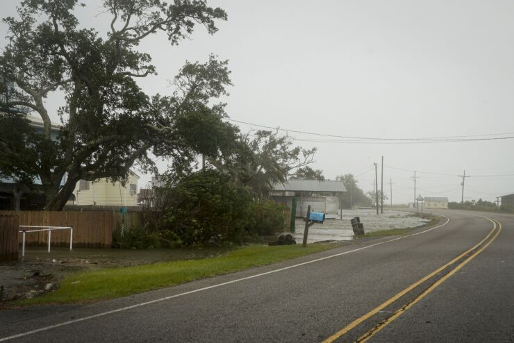
Every summer, the insurance industry braces for “hurricane season” and the spike in claims that comes with it. Natural disasters, including, but not limited to, winds, rains, hurricanes and floods, batter the U.S. with their destructive forces, destroying nearly everything in their path.
Knowing about the weather is obviously important, but it’s critical to see it in a historical and real-time perspective to make it actionable. Thanks to technology, insurers are now able to analyze storms, hurricanes, and all National Oceanic and Atmospheric Administration (NOAA) recorded weather events, and compare that information with how property claims arise around these storms in time and space, and in type, frequency and severity.
The ability to connect storm path(s) and their corresponding metadata (speed, severity, etc.) with a vast database of historical insurance outcomes enables insurers to deliver actionable insights based on analytical data.
Combining history and technology
Weather models are powerful tools used to help understand localized storm impacts and hurricane paths. However, they often over-estimate the scope of impact compared to the actual ground truth of claims reporting. Fortunately, insurers are now able to leverage geospatial analytics and industry-wide claim events to quickly identify claim clusters as they develop on the ground. “Claims clustering” is a powerful approach that adds value to weather data to identify properties filing claims versus properties within the clusters with highly probable damage and unrepaired damage.
Insurers that are able to merge claims information associated with a given event can quickly and accurately identify impact areas from insurance perspectives, providing a much clearer picture of the actual damage associated with various weather-related events. And since response time is critical from a claims-handling perspective, identifying the hot spots where insurance loss actually occurred and understanding the types of claims associated with a specific weather event is extremely valuable for claims adjusters.
A good example of using technology to track weather events and insurance claims was Louisiana in 2019. Despite suffering no major recorded weather events, Louisiana experienced its highest year for wind total loss in seven years. This was driven by a series of smaller events from April through June.
Using geospatial analytics, insurers are also able to identify claim clusters from events outside the main path of major events. This was particularly clear with Hurricane Barry in July 2019, with the damage minor over the actual path, but claims clusters extending out to New Orleans. Often times, the extent of insurance loss is not determined by the NOAA-captured path of a storm, but rather by the exposure that lies in the path and the intensity of the event itself. By combining actual loss information using claim clustering algorithms, carriers can get a better understanding of the net impact of a weather impact on their portfolio.
Catastrophe season has been happening for centuries, giving insurance companies years and years of data to help predict, negate and mitigate the effects of the stormy weather. More specifically, the data enables insurers to leverage their technology investments and expertise to analyze actual loss information with claim clustering algorithms to get a clearer understanding of the net impact a hurricane or other major weather event could have on their portfolio.
So be forewarned: If you are not leveraging the data and analytics available to you to accurately price policies and predict catastrophe season claims, you are leaving money on the table for your company and your customers.


