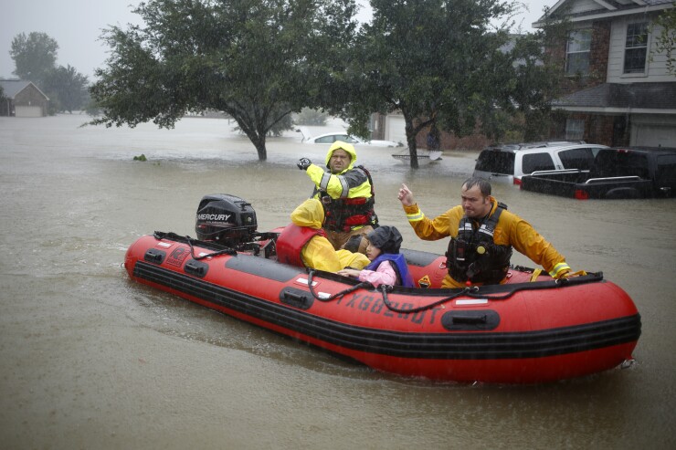
Hurricane Harvey, which hit the Texas coast on Friday night, devastated the city of Houston and may cause some $40 billion in property damage across the state. But recent innovations in the use of data analytics and related technologies have put insurers in a better position to assess and manage the consequences associated with catastrophic storms
“Five or six years ago, analytics was more of a modeling exercise,” notes Karen Furtado, a partner at the insurance consulting and advisory firm Strategy Meets Action. “Now it’s used in real time to evaluate risk.”
That means that insurers will quickly be able to comprehend the precise impact of the hurricane and provide rapid restitution to their customers with claims. “There will be no guessing if their policyholders were impacted or not,” Furtado says. “Analytics provides them with real-time information about who was affected and the severity of the impact.”

Predictive analytic tools, she adds, also allow residential and commercial property insurers to prepare ahead of time for major storms like Harvey by projecting the most probable outcomes for their business and their policyholders. Furtado points to many instances of an insurer imposing a moratorium on writing business in a particular geographic zone, because it now has the information it needs to accurately assess the scope of the impending risks.
“Analytics,” she observes, “gives insurers the ability to better control their risks prior to an event.” And on the flip side, “Insurers have their eyes wide open,” when it comes to selecting the most profitable areas in a geography that’s prone to flooding.
One tool, in particular, that Furtado singles out is aerial imaging, which gives insurers much more accurate data on the impact of hurricanes and other major weather events. Satellites, drones and fixed-wing aircraft have mapped the entire country to a 10-meter grid, capturing images of every home and commercial property in the U.S. in the process.
These images are continuously updated, and when an event like Harvey occurs, insurers now have the potential to compare before and after photos of covered properties in real time, according to Ryan Kottenstette, CEO of Cape Analytics, an insurtech provider of spatial data analytics. Such post-event image analysis, he says, enables insurers to respond to claims much faster and with a much greater degree of assurance.
Managing risk
Beyond claims, spatial data analysis is also beginning to help insurers do a better job of underwriting their policies and managing their risk throughout the life of a contract.
In recent years, “We’ve made massive gains in our ability to turn visual imagery into structured data and run analysis on it,” Kottenstette explains. “For example, it’s long been known that certain secondary modifiers, like roof shape and pool enclosures, have a very big impact on the susceptibility of a specific property to hurricane damage.”
Historically, he says, much of that data has either been unavailable absent a physical inspection of the property, or of limited accuracy if it’s drawn from public records. But with all the current advances, “Insurers can now get much greater image fidelity—and much more accurate pieces of data—that are very specific to catastrophe and hurricane risk.”
One Cape Analytics customer that has begun making use of spatial data analytics for both claims and underwriting is Security First Managers, Florida’s second largest homeowner insurance carrier.
Now, when the carrier writes a policy, drone photos of the covered property are stored in a database for later comparison with photos taken in the immediate aftermath of a weather event. Following Hurricane Matthew, last year, Security First COO Werner Kruck says the insurer was able to quickly catalog all of its policyholders’ losses and contact its insureds, in some cases before they had filed a claim or were even aware of the damages.
“With this technology,” Kruck says, “within a couple of days of a storm we can know which homes have losses, how bad they are and email photos to the property owners, so we can begin the claims process. If we know that a house is not livable or destroyed, we don’t have to wait for the client to be able to return home and submit a claim. We can start the claims process right away.”


