Armin Monajemi, vice president of strategic partnerships at Betterview, says that True Flood Risk's technology is unique when compared to other flood scores in the industry due to its accuracy and reliability.
"After looking at the [True Flood] data, it really stood out because the first floor elevation, the first floor height of the ground level, is something that's really important when it comes to storm surge and flood losses. But not a lot of good data is available around this. You can look at assessors' information and various publicly available data points but they're incomplete. They're really dependent on whether the county has their data digitized, is reporting it and if the providers are able to aggregate that data, but it's really spotty," says Monajemi. "What True Flood did with their technology was really interesting… of the thousands of properties that we've run through, there is about 80% coverage [of available data], which is amazing compared to what was available in the market before."
The FFH estimator technology removes the need for on-site inspections by calculating a property's first floor height. Through computer vision and machine learning capabilities, the FFH solution analyzes property features and extracts information through imagery either uploaded by users or licensed sources to then provide properly-specific flood risk information. With the information provided, True Flood Risk can simulate river or flash flooding, provide an estimate for flood insurance premiums, predict loss estimates through calculation tools and analyze past recorded claims. Betterview will also utilize data from True Flood Risk in its claims and underwriting processes.
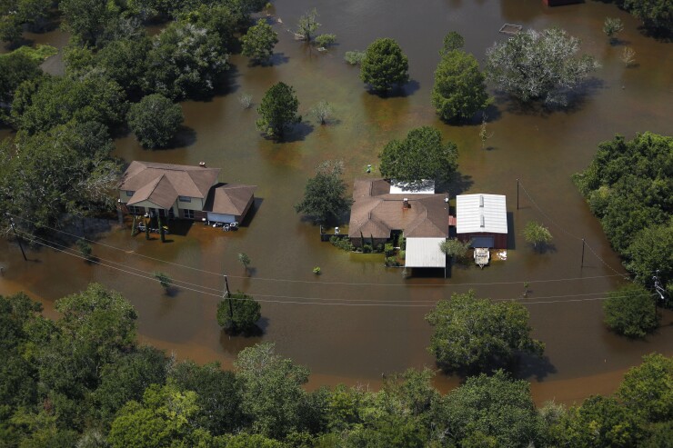
"What I'm very excited about is what we're doing with True Flood and another partner of ours, Iceye… They have a network of satellites in space that capture SAR data, and every time there's a flood, they capture the boundaries of that flood using their satellites and the depth of water at any given point…" explains Monajemi. "When there is a storm surge or flood event, we know what the depth of the water is, at any given point in time, and we know what the first floor height of the building is… And to that extent we're working with our data science team to figure that out to see if we can really calculate the approximate damages or the approximate loss payable. But these two values really give a somewhat definitive answer to the carrier when there is demand for thousands of claims."
Data from the True Flood Risk solutions will also be available on Betterview's PartnerHub, a marketplace platform of third-party
Shelly Klose, founder and CEO of True Flood Risk, said in a press release statement, "This is not just going to make our data more accessible to a wide range of insurance companies. There is also an opportunity to enhance our solutions by combining them with data from other Betterview partners, such as microsatellite imagery from


